

giGIS
A web GIS platform for land, forestry and estate management
giGIS is the platform we are building as the foundation of all our GIS solutions: one system, multiple independent customers (tenants), each with their own projects, data, users and visual identity.
Status:In active development — pilot projects on request.
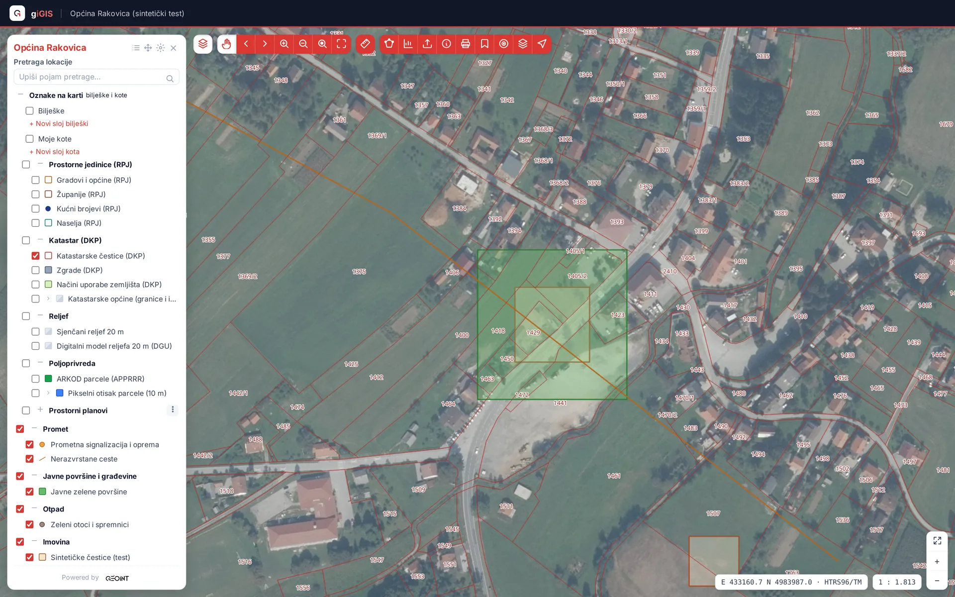
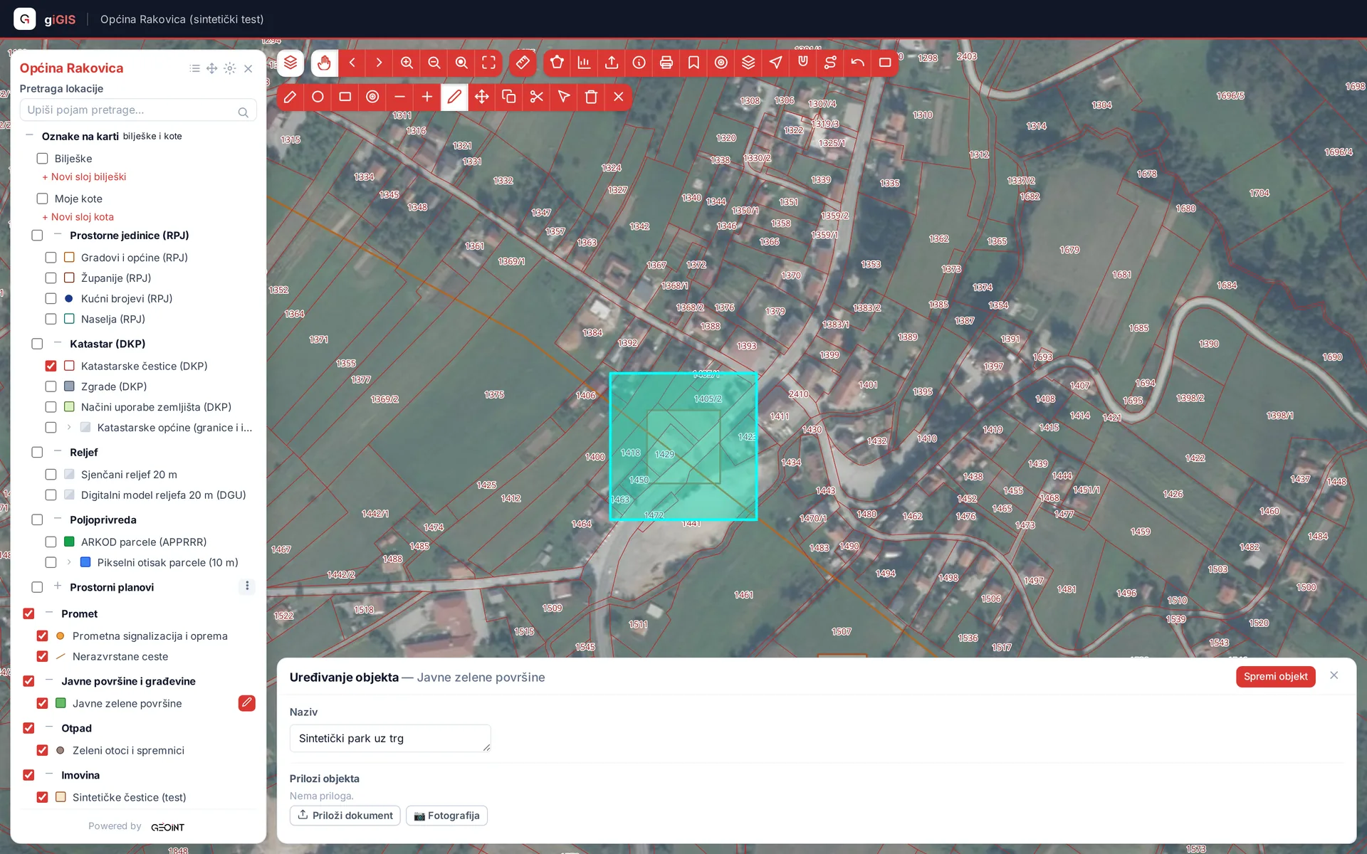
Screenshots show synthetic test data.
Who giGIS is for
Companies and institutions that manage spatially dispersed assets — land, forests, real estate, infrastructure — and need a central map instead of scattered shapefiles and Excel sheets.
Map and data
- Vector layers straight from PostGIS (MVT tiles) or through GeoServer (WMS/WFS)
- Import of standard GIS formats with a controlled processing pipeline, plus data export
- Documents and attachments linked to spatial features
- Location search (gazetteer) and saved map bookmarks
Editing
- Drawing and editing geometries directly in the browser
- Parcel split and merge, plus bulk attribute edits
- Annotations and dimensions on the map
- Edits are saved through WFS-T transactions via an authenticated proxy
Styling, publishing and printing
- Versioned styles and legends generated from our own style description
- Layer publishing through OGC services
- Cartographic PDF map sheets (MapFish Print) with georeferenced PDF output
- Measurements, buffers and spatial statistics
Security and administration
- Per-tenant isolation at the database level (PostgreSQL RLS)
- Local sign-in or integration with your own IdP through OIDC
- Roles, user administration and per-tenant theming
- Rate limits, security headers and GDPR tooling
Technology
Angular, FastAPI, PostgreSQL/PostGIS, Redis, Celery, GeoServer, MapFish Print, MinIO and Docker — the same open-source tools we use in client projects.
Interested in a pilot or a demo?
The products are in development and we are looking for early users. Get in touch and we will set up a walkthrough on your data.
Contact us