

GEOINT / Geospatial engineering
Spatial data that works in the field
GEOINT d.o.o. is a geoinformatics company based in Karlovac, Croatia, serving clients in Croatia and the European Union. We build web GIS applications, geoportals and systems for field crews, run spatial analyses and automate geospatial data processing — from regional spatial plans to crew routes across hundreds of locations.
Karlovac · 45.49° N 15.55° E
Trusted by




400+
locations under daily management in our systems
100+
spatial plans published on the geoportal
All of Croatia
coverage of scanned cadastral map processing
3
systems in daily production use
Our product / Verdis
Verdis — smart field operations management
A SaaS platform for grounds-maintenance companies: route planning and optimisation, work orders with photo proof from the field and client-ready reporting — all in one place.
Featured projects
Full portfolio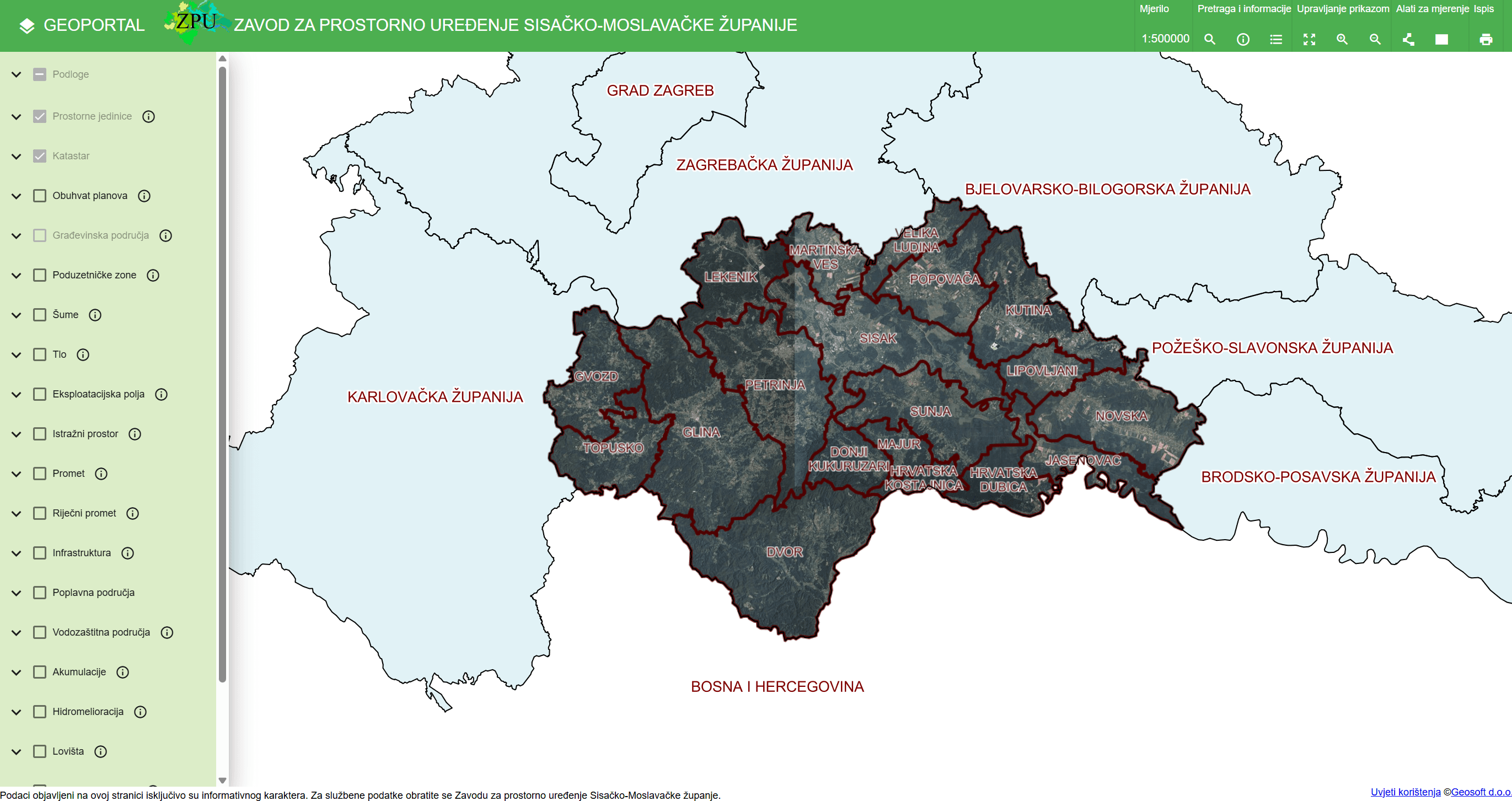
Geoportal of the Sisak-Moslavina County Institute for Spatial Planning
A public geoportal bringing spatial plans and cadastral data together in one place — developed in cooperation with GEOSOFT d.o.o.
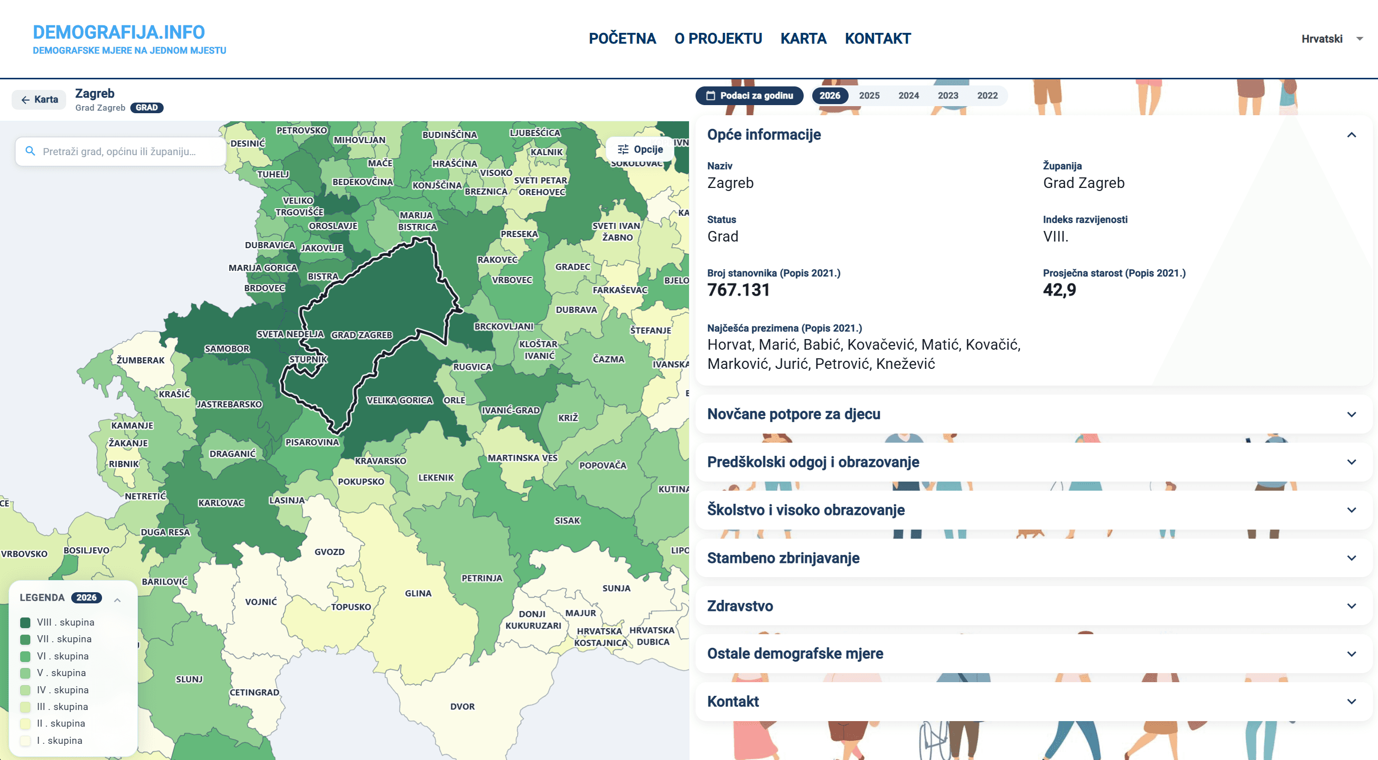
demografija.info — demographic measures portal
An interactive portal of the Croatian Ministry of Demography and Immigration for browsing demographic measures across towns and municipalities
About us
The company is led by Sebastijan Sekulić, PhD, who earned his doctorate at the University of St Andrews (UK) on the spatio-temporal analysis of human mobility flow networks and publishes in international journals such as Transactions in GIS. He built his experience as a senior engineer working on geospatial and cloud solutions in the UK GIS industry (thinkWhere / Idox Geospatial). We combine open-source GIS tools (QGIS, GDAL, GeoServer) with modern web technologies (Python, FastAPI, Angular) and cloud infrastructure to deliver reliable, tailor-made solutions.
Our services
Web GIS
Custom web GIS applications tailored to your requirements — from spatial data viewers to complete project management systems.
Spatial analysis
Detailed, professional spatial analyses that integrate your data with publicly available services to support better decision-making.
Mobile applications
Native mobile applications for iOS, Android and the web — for example real-time location display on cadastral and planning basemaps.
Spatial data processing
Georeferencing, clipping and mosaicking of scanned cadastral maps, plus automation of large-scale spatial data processing.
Who we work for
Public administration
Ministries, counties and public institutions — from spatial-plan geoportals to national open-data portals.
Ministry of Demography and Immigration, SMC Institute
Utility and field-service companies
Organisations with crews in the field — route planning, work orders, photo documentation and client reporting.
Verdis — 400+ locations in production
GIS industry
Subcontracted development and data processing for GIS companies in Croatia and abroad — from georeferencing to system development.
GEOSOFT, thinkWhere, IDOX
Have a project or an idea?
Tell us what you need — we usually reply the same working day, and the first assessment is free and non-binding.