

Georeferencing and mosaicking of scanned cadastral maps
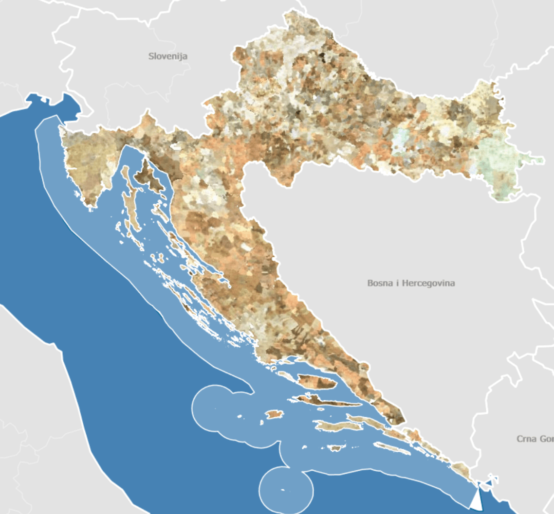
Georeferencing, clipping and merging scanned cadastral maps for the whole of Croatia
The challenge
Scanned cadastral maps were produced over decades in different scales and coordinate systems. To be usable in the digital cadastre and GIS tools, every sheet needs to be precisely placed in today's official coordinate system, cleaned of sheet margins and seamlessly joined with its neighbours.
The solution
We developed an automated processing pipeline based on GDAL and Python: georeferencing against control points, clipping the useful map content and mosaicking the sheets into seamless wholes. Automation ensured consistent quality and repeatability at the scale of the entire country.
The result
A precisely georeferenced mosaic of cadastral maps, ready to be served through WMS services and used in web GIS applications, spatial analyses and the everyday work of surveyors.
Technologies used
- GDAL
- Python
- QGIS
- GeoServer
Related services
Have a similar project or idea?
Contact us