

1 October 2026
Georeferencing scanned cadastral maps: from paper to digital cadastre
Croatia's cadastral maps were produced over more than a century, in different scales, projections and states of preservation. To be usable in the digital cadastre and GIS tools, every scanned sheet must be precisely placed into today's official coordinate system (HTRS96/TM). That process is called georeferencing — and we have carried it out on maps covering all of Croatia. Here is what it looks like in practice.
Step 1: control points
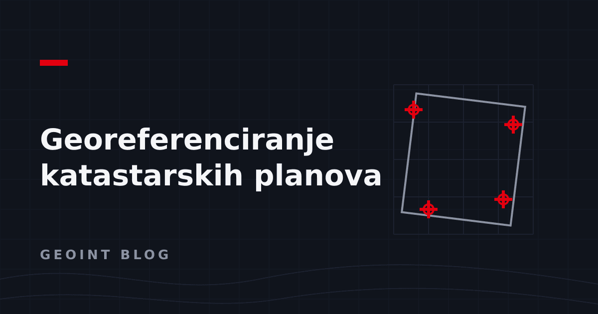
Georeferencing starts by identifying points whose position we know both on the scan and in real coordinates — grid intersections on the sheet, trigonometric points, unambiguous details. The number and distribution of control points determine the quality of the whole result: poorly distributed points produce a map that fits in the middle and drifts by metres at the edges.
Step 2: transformation and accuracy assessment
Based on the control points, a transformation is computed that maps the scan into the coordinate system. The key is not to stop at "looks fine": every transformation has a measurable error (RMS) per point, and only when it falls within the tolerance for the sheet's scale is the result acceptable. With older maps, several transformation types are often tested, because decades do things to paper.
Step 3: clipping and mosaicking
A georeferenced sheet still carries its frame, marginal content and scan edges. Clipping leaves only the map itself, and mosaicking joins neighbouring sheets into a seamless whole — no overlaps, no gaps. The result is a single raster basemap ready to be served through WMS and used in any GIS tool.
Why automation is decisive
One sheet can be processed by hand. Thousands cannot — or can, but with uneven quality, because every operator works slightly differently. That is why we automated the process with GDAL and Python: the same rules, the same quality control and a repeatable result on every sheet, with manual intervention only where automation justifiably stops.
Do you have an archive of scanned maps that needs georeferencing? Get in touch — country-scale experience means we have probably already seen your hardest case.
Have a similar project or idea?
Contact us